Cip Codes: 49.0102 & 15.1102
Overview
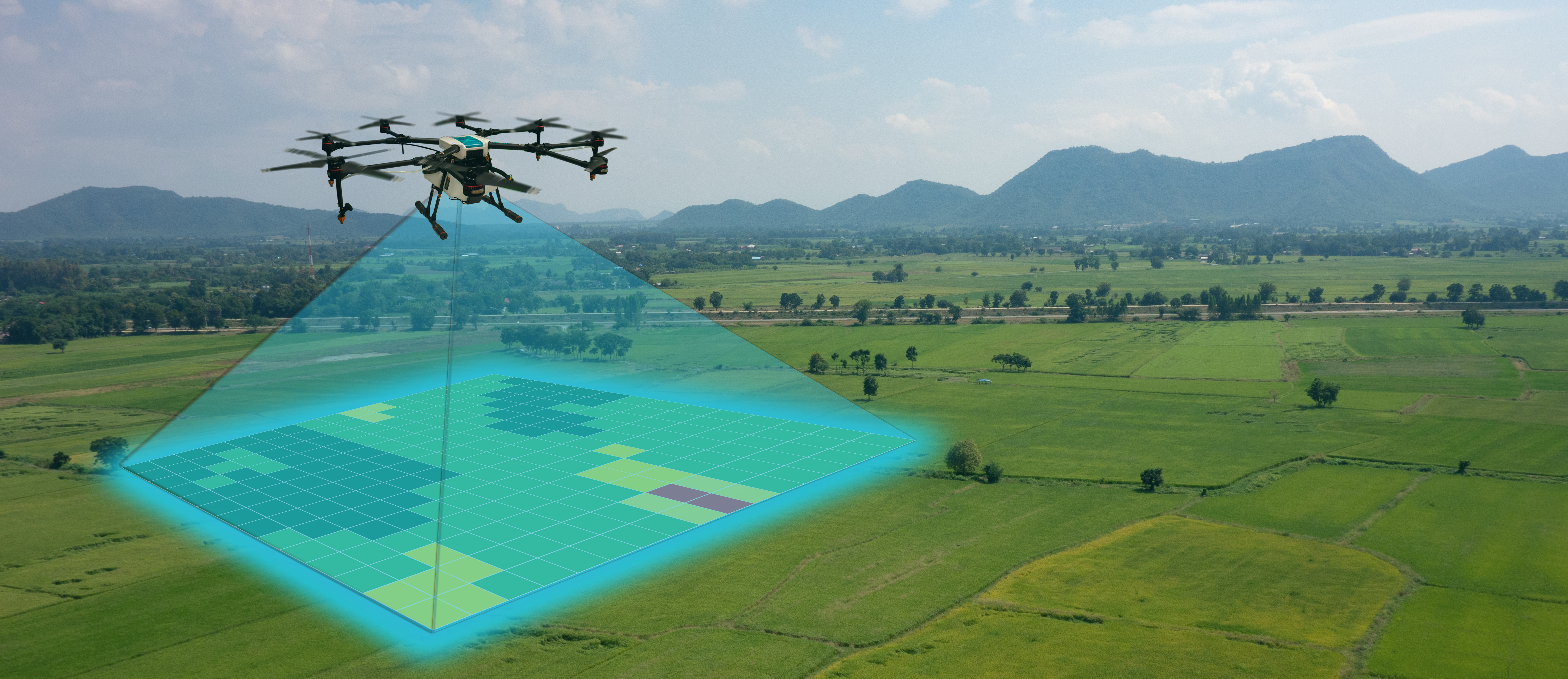
Drone mapping is an aerial survey conducted by a drone and specialist cameras which streamline surveying and progress tracking by turning drone imagery into accurate 4D maps.
- AIRP.1008 Drone Pilot Test Preparation 1.6 CEU
- SRVY.2005 4D Mapping/Drone Piloting 4.8 CEU
Requirements
Must be a licensed drone pilot. Not a licensed drone pilot yet? We also offer the FAA part 107 training. For more information, call 817-598-8870.
Career Options
Drone mapping pilots are in high demand right now and will continue to increase in the years that follow. Drone mapping industries include careers in Land Surveying, Construction Site Management, Land Management and Development, Emergency Services/Disaster Response and the list keeps growing.
Scholarships
Funding assistance through the Workforce Education Grant and Weatherford College Foundation Scholarship for Workforce Education may be available for eligible applicants, until funds are depleted. Please visit the Financial Assistance page for applications. This program does not qualify for FAFSA.